Victorian house on Hornsey Lane
Introduction
The photograph on this page of Victorian house on Hornsey Lane by David Howard as part of the Geograph project.
The Geograph project started in 2005 with the aim of publishing, organising and preserving representative images for every square kilometre of Great Britain, Ireland and the Isle of Man.

There are currently over 7.5m images from over 14,400 individuals and you can help contribute to the project by visiting https://www.geograph.org.uk
Victorian house on Hornsey Lane
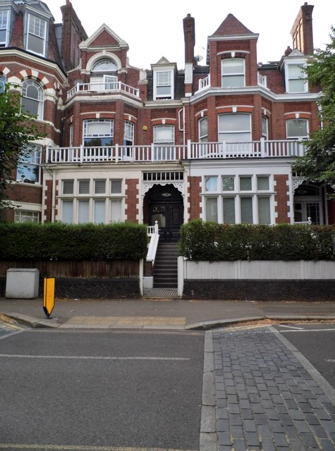
Image: © David Howard Taken: 17 Jul 2018
I discovered for the first time (I was born across the main road from here) this part of Islington borough is still in N6 rather than N19 which begins just beyond the bridge and was also the London/Middlesex boundary till 1965.
Images are licensed for reuse under creativecommons.org/licenses/by-sa/2.0
Image Location
Latitude
51.569391
Longitude
-0.141253