Church of St Saviour
Introduction
The photograph on this page of Church of St Saviour by Mat Fascione as part of the Geograph project.
The Geograph project started in 2005 with the aim of publishing, organising and preserving representative images for every square kilometre of Great Britain, Ireland and the Isle of Man.

There are currently over 7.5m images from over 14,400 individuals and you can help contribute to the project by visiting https://www.geograph.org.uk
Church of St Saviour
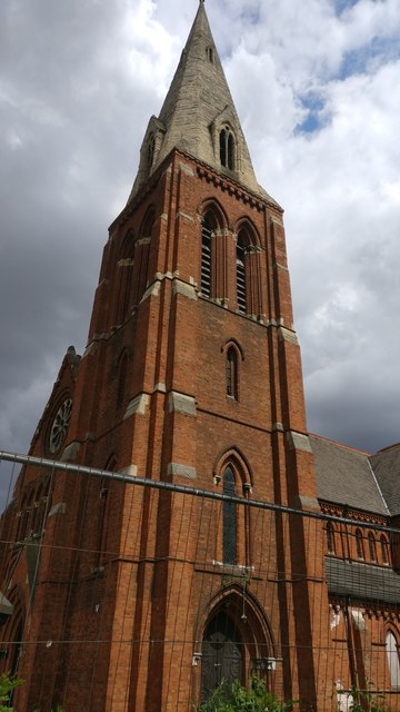
Image: © Mat Fascione Taken: 17 Jul 2018
A Grade II listed disused church in the Spinney Hills area of Leicester. The church was completed in 1877 and closed in 2005.
Images are licensed for reuse under creativecommons.org/licenses/by-sa/2.0
Image Location
Latitude
52.637597
Longitude
-1.109193