Cherry Tree House, Church Lane
Introduction
The photograph on this page of Cherry Tree House, Church Lane by John Baker as part of the Geograph project.
The Geograph project started in 2005 with the aim of publishing, organising and preserving representative images for every square kilometre of Great Britain, Ireland and the Isle of Man.

There are currently over 7.5m images from over 14,400 individuals and you can help contribute to the project by visiting https://www.geograph.org.uk
Cherry Tree House, Church Lane
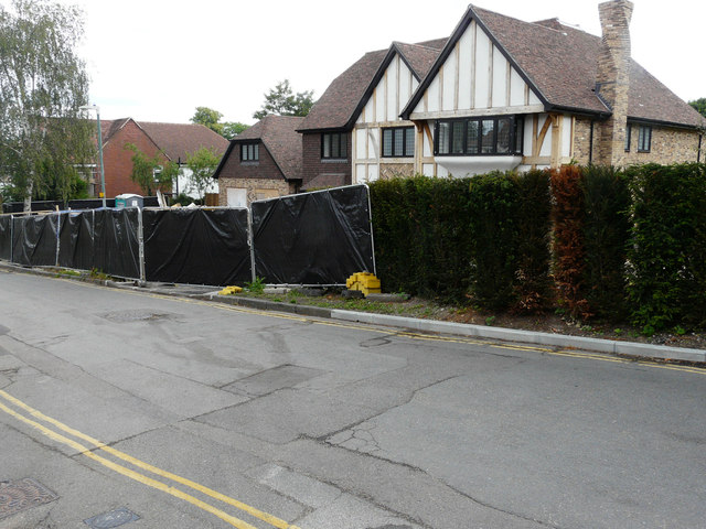
Image: © John Baker Taken: 17 Jun 2018
Planning permission was granted by Maidstone Borough Council under application number 16/500334/FULL for the “demolition of existing dwelling. Erection of 2 detached dwellings with new access”. This was Image in November 2020. The former house was called Tremayne.
Images are licensed for reuse under creativecommons.org/licenses/by-sa/2.0
Image Location
Latitude
51.271746
Longitude
0.579188