Hazelwood Lane
Introduction
The photograph on this page of Hazelwood Lane by Malcolm Neal as part of the Geograph project.
The Geograph project started in 2005 with the aim of publishing, organising and preserving representative images for every square kilometre of Great Britain, Ireland and the Isle of Man.

There are currently over 7.5m images from over 14,400 individuals and you can help contribute to the project by visiting https://www.geograph.org.uk
Hazelwood Lane
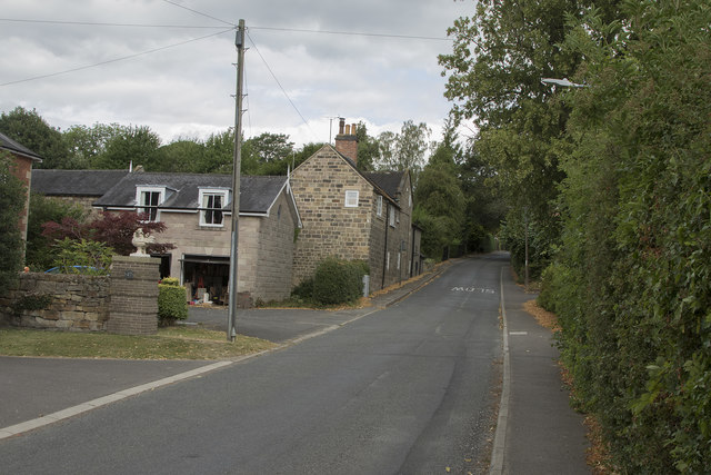
Image: © Malcolm Neal Taken: 17 Jul 2018
Hazelwood Lane runs from the centre of the village of Duffield out into the countryside. It is a line that has many large and expensive properties on both sides.
Images are licensed for reuse under creativecommons.org/licenses/by-sa/2.0
Image Location
Latitude
52.994692
Longitude
-1.496684