Tanyard Farm, Old Ashford Road
Introduction
The photograph on this page of Tanyard Farm, Old Ashford Road by John Baker as part of the Geograph project.
The Geograph project started in 2005 with the aim of publishing, organising and preserving representative images for every square kilometre of Great Britain, Ireland and the Isle of Man.

There are currently over 7.5m images from over 14,400 individuals and you can help contribute to the project by visiting https://www.geograph.org.uk
Tanyard Farm, Old Ashford Road
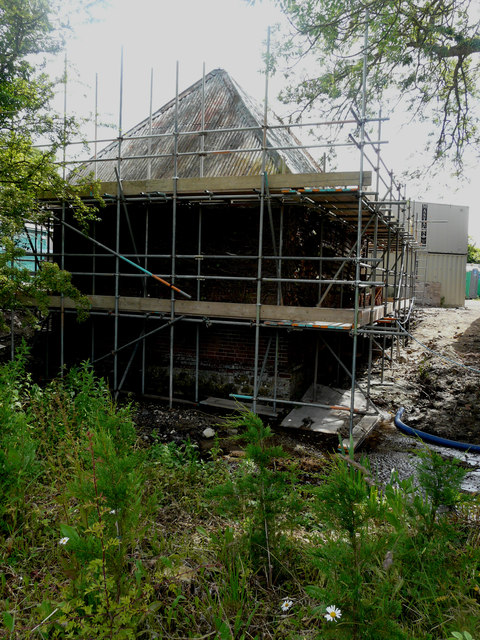
Image: © John Baker Taken: 17 Jun 2018
Planning permission was granted by Maidstone Borough Council under application number 14/503309/FULL for the “conversion of 3 agricultural barns for residential use and erection of 3 new dwellings with associated car barns and landscaping”. This is one of the agricultural barns undergoing conversion.
Images are licensed for reuse under creativecommons.org/licenses/by-sa/2.0
Image Location
Latitude
51.234828
Longitude
0.723968