Where the power pops out...
Introduction
The photograph on this page of Where the power pops out... by David Medcalf as part of the Geograph project.
The Geograph project started in 2005 with the aim of publishing, organising and preserving representative images for every square kilometre of Great Britain, Ireland and the Isle of Man.

There are currently over 7.5m images from over 14,400 individuals and you can help contribute to the project by visiting https://www.geograph.org.uk
Where the power pops out...
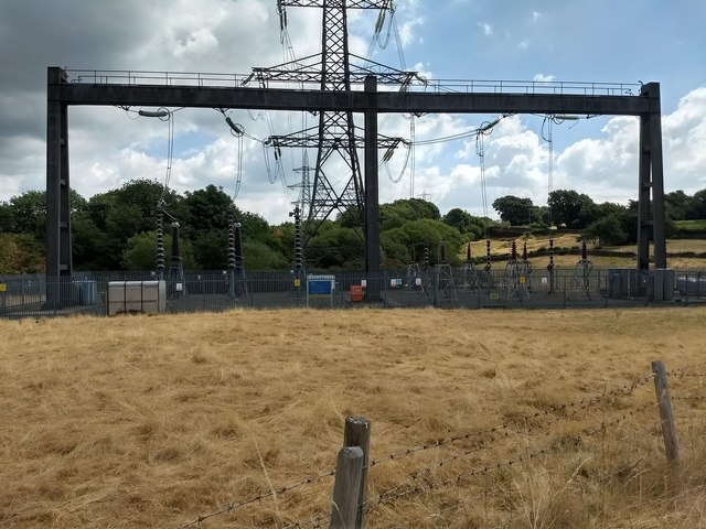
Image: © David Medcalf Taken: 10 Jul 2018
The electricity lines are underground the Glaslyn estuary from Penmorfa to Minffordd - this is where they emerge from the ground.
Images are licensed for reuse under creativecommons.org/licenses/by-sa/2.0
Image Location
Latitude
52.928015
Longitude
-4.090263