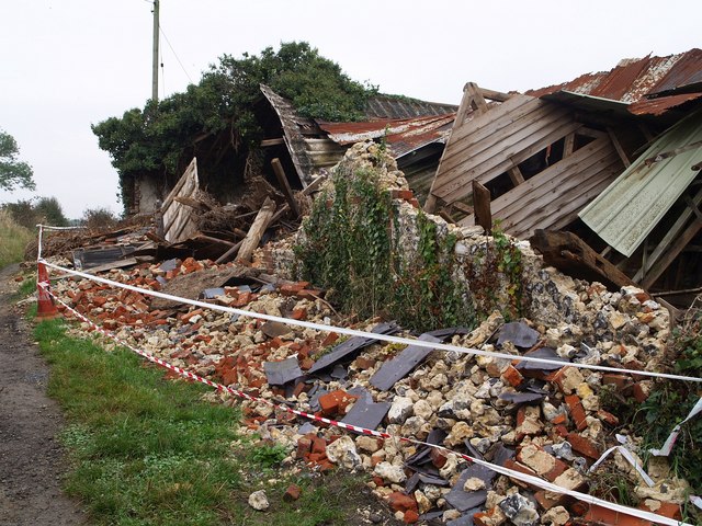
Collapsed barn, Read's Rest
Introduction
The photograph on this page of Collapsed barn, Read's Rest by Derek Harper as part of the Geograph project.
The Geograph project started in 2005 with the aim of publishing, organising and preserving representative images for every square kilometre of Great Britain, Ireland and the Isle of Man.
There are currently over 7.5m images from over 14,400 individuals and you can help contribute to the project by visiting https://www.geograph.org.uk

Image: © Derek Harper Taken: 12 Oct 2007
A close-up of the C18 flint and brick barn shown in Image, beside Banstead footpath 41. I suspect this is probably the barn referred to in the "list of buildings of architectural and historic interest in the Borough of Reigate and Banstead" (http://www.reigate-banstead.gov.uk/Images/List_Historical_InterestvOct06_tcm5-10503.pdf ), although it is described as being "north-east of Read's Rest Cottages", when it is in fact to the northwest. The preamble states "the Borough Council will seek to ensure the preservation of buildings on the local list", although I fear they will have their work cut out in this case. Some of the structure, however, remains intact.
Image Location


