Ollar Valley, Ballyclare (July 2018)
Introduction
The photograph on this page of Ollar Valley, Ballyclare (July 2018) by Albert Bridge as part of the Geograph project.
The Geograph project started in 2005 with the aim of publishing, organising and preserving representative images for every square kilometre of Great Britain, Ireland and the Isle of Man.

There are currently over 7.5m images from over 14,400 individuals and you can help contribute to the project by visiting https://www.geograph.org.uk
Ollar Valley, Ballyclare (July 2018)
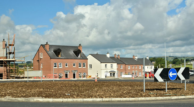
Image: © Albert Bridge Taken: 16 Jul 2018
Part of a new development, on the Templepatrick Road, opposite the Ballyrobert Road. The new roundabout (bottom) is part of the Ballyclare Western Relief Road connecting the Templepatrick Road to the Rashee Road. More (unofficial) information here http://www.wesleyjohnston.com/roads/ballyclarewesternreliefroad.html This photograph, from close to the Ballyrobert Road, appears as a matter of record only. I have no connection with anybody.
Images are licensed for reuse under creativecommons.org/licenses/by-sa/2.0
Image Location
Latitude
54.739276
Longitude
-6.015543