Junction of Prospect Place and Citadel Road, Plymouth
Introduction
The photograph on this page of Junction of Prospect Place and Citadel Road, Plymouth by Jaggery as part of the Geograph project.
The Geograph project started in 2005 with the aim of publishing, organising and preserving representative images for every square kilometre of Great Britain, Ireland and the Isle of Man.

There are currently over 7.5m images from over 14,400 individuals and you can help contribute to the project by visiting https://www.geograph.org.uk
Junction of Prospect Place and Citadel Road, Plymouth
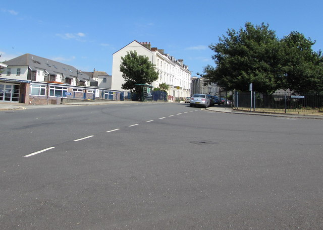
Image: © Jaggery Taken: 14 Jul 2018
Prospect Place from the right joins Citadel Road. St Andrew's Primary School https://www.geograph.org.uk/photo/5842820 is on the left.
Images are licensed for reuse under creativecommons.org/licenses/by-sa/2.0
Image Location


Leaflet Map data © OpenStreetMap
Latitude
50.367197
Longitude
-4.149029