River Leven and former Alexandria Works
Introduction
The photograph on this page of River Leven and former Alexandria Works by Lairich Rig as part of the Geograph project.
The Geograph project started in 2005 with the aim of publishing, organising and preserving representative images for every square kilometre of Great Britain, Ireland and the Isle of Man.

There are currently over 7.5m images from over 14,400 individuals and you can help contribute to the project by visiting https://www.geograph.org.uk
River Leven and former Alexandria Works
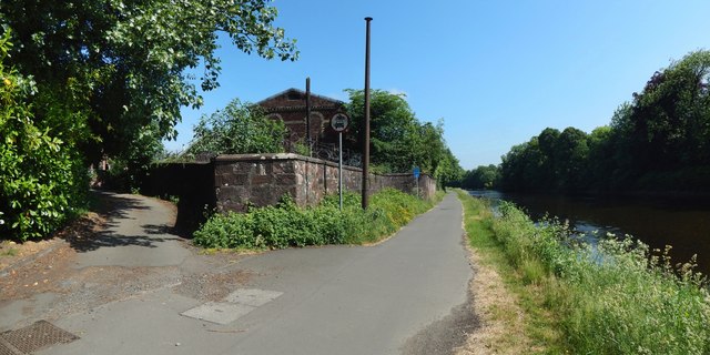
Image: © Lairich Rig Taken: 6 Jun 2018
The riverside path is part of cycle route NCN 7. To its left are Image (Image / Image). See Image for a view in the opposite direction from about the same place.
Images are licensed for reuse under creativecommons.org/licenses/by-sa/2.0
Image Location


Leaflet Map data © OpenStreetMap
Latitude
55.989144
Longitude
-4.576632