Dam Lane, Saxton
Introduction
The photograph on this page of Dam Lane, Saxton by Chris Heaton as part of the Geograph project.
The Geograph project started in 2005 with the aim of publishing, organising and preserving representative images for every square kilometre of Great Britain, Ireland and the Isle of Man.

There are currently over 7.5m images from over 14,400 individuals and you can help contribute to the project by visiting https://www.geograph.org.uk
Dam Lane, Saxton
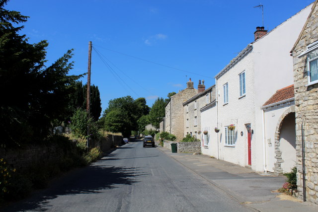
Image: © Chris Heaton Taken: 11 Jul 2018
Lane heading west out of Saxton towards the B1217. Formerly known as Silver Street.
Images are licensed for reuse under creativecommons.org/licenses/by-sa/2.0
Image Location


Leaflet Map data © OpenStreetMap
Latitude
53.826201
Longitude
-1.27925