Chapel Street Bramcote
Introduction
The photograph on this page of Chapel Street Bramcote by Malcolm Neal as part of the Geograph project.
The Geograph project started in 2005 with the aim of publishing, organising and preserving representative images for every square kilometre of Great Britain, Ireland and the Isle of Man.

There are currently over 7.5m images from over 14,400 individuals and you can help contribute to the project by visiting https://www.geograph.org.uk
Chapel Street Bramcote
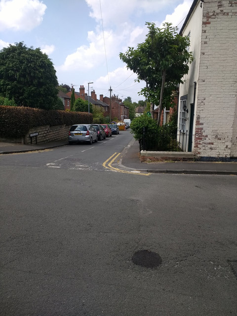
Image: © Malcolm Neal Taken: 14 Jul 2018
A quiet road close to the very busy A52 which links Nottingham and Derby. For several years the A52 has been renamed Brian Clough Way.
Images are licensed for reuse under creativecommons.org/licenses/by-sa/2.0
Image Location
Latitude
52.935663
Longitude
-1.24726