Carnlough, wall
Introduction
The photograph on this page of Carnlough, wall by Mike Faherty as part of the Geograph project.
The Geograph project started in 2005 with the aim of publishing, organising and preserving representative images for every square kilometre of Great Britain, Ireland and the Isle of Man.

There are currently over 7.5m images from over 14,400 individuals and you can help contribute to the project by visiting https://www.geograph.org.uk
Carnlough, wall
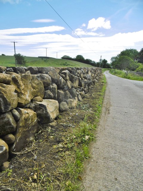
Image: © Mike Faherty Taken: 22 Jun 2018
A new dry-stone wall on Waterfall Road. Large limestone boulders at the base, smaller basalt stones at the top.
Images are licensed for reuse under creativecommons.org/licenses/by-sa/2.0
Image Location
Latitude
54.995226
Longitude
-6.003395