Track near Conlig
Introduction
The photograph on this page of Track near Conlig by Rossographer as part of the Geograph project.
The Geograph project started in 2005 with the aim of publishing, organising and preserving representative images for every square kilometre of Great Britain, Ireland and the Isle of Man.

There are currently over 7.5m images from over 14,400 individuals and you can help contribute to the project by visiting https://www.geograph.org.uk
Track near Conlig
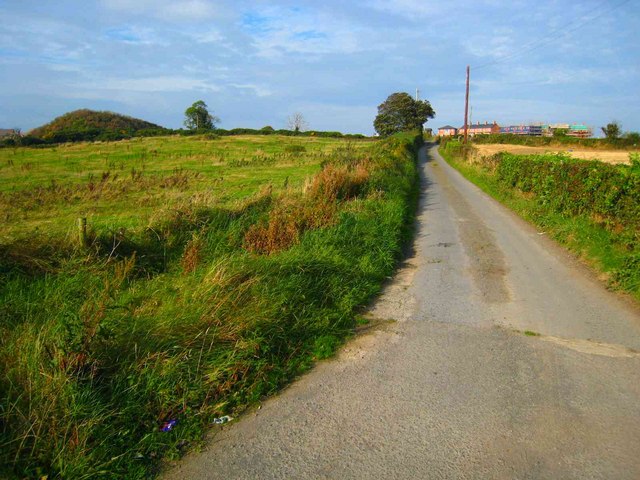
Image: © Rossographer Taken: 14 Oct 2007
Track off the Green Road near Conlig. Houses (like those in the distance) on the edge of Bangor near Rathgill will soon be built up to the end of the road. Update - some 10 years later the predicted development had indeed reached this area as seen in Image
Images are licensed for reuse under creativecommons.org/licenses/by-sa/2.0
Image Location
Latitude
54.632598
Longitude
-5.661724