The approach to Eddington
Introduction
The photograph on this page of The approach to Eddington by John Sutton as part of the Geograph project.
The Geograph project started in 2005 with the aim of publishing, organising and preserving representative images for every square kilometre of Great Britain, Ireland and the Isle of Man.

There are currently over 7.5m images from over 14,400 individuals and you can help contribute to the project by visiting https://www.geograph.org.uk
The approach to Eddington
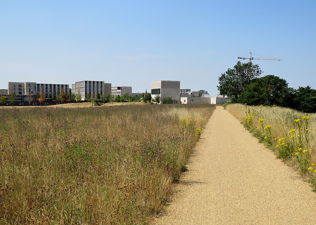
Image: © John Sutton Taken: 13 Jul 2018
Storey's Field Community Centre is to the left of the path. Image] is a comparable view taken in November 2017.
Images are licensed for reuse under creativecommons.org/licenses/by-sa/2.0
Image Location
Latitude
52.218441
Longitude
0.089363