Way finding board, Tall Ships Races Sunderland 2018
Introduction
The photograph on this page of Way finding board, Tall Ships Races Sunderland 2018 by Graham Robson as part of the Geograph project.
The Geograph project started in 2005 with the aim of publishing, organising and preserving representative images for every square kilometre of Great Britain, Ireland and the Isle of Man.

There are currently over 7.5m images from over 14,400 individuals and you can help contribute to the project by visiting https://www.geograph.org.uk
Way finding board, Tall Ships Races Sunderland 2018
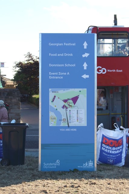
Image: © Graham Robson Taken: 12 Jul 2018
One of numerous way finding boards around the venues hosting events as part of the festival around Sunderland's hosting of the start of the Tall Ships Races 2018. This sign was located in Zone B which consists of exhibition stands and a stage on and around Sunderland's Town Moor. Event Zone A, which is signposted on the board was where the majority of the ships were moored, the city's port.
Images are licensed for reuse under creativecommons.org/licenses/by-sa/2.0
Image Location
Latitude
54.908583
Longitude
-1.366736