Ballycastle, Pans Rock
Introduction
The photograph on this page of Ballycastle, Pans Rock by Mike Faherty as part of the Geograph project.
The Geograph project started in 2005 with the aim of publishing, organising and preserving representative images for every square kilometre of Great Britain, Ireland and the Isle of Man.

There are currently over 7.5m images from over 14,400 individuals and you can help contribute to the project by visiting https://www.geograph.org.uk
Ballycastle, Pans Rock
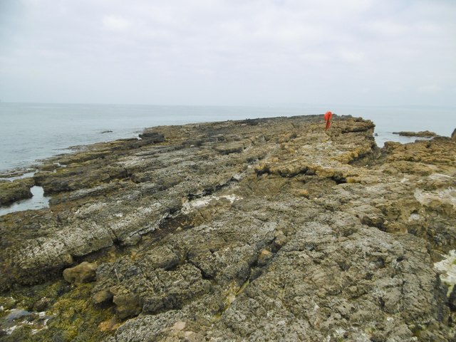
Image: © Mike Faherty Taken: 1 Jul 2018
So called because depressions in the rock were once used to evaporate sea water and produce salt.
Images are licensed for reuse under creativecommons.org/licenses/by-sa/2.0
Image Location
Latitude
55.207557
Longitude
-6.220258