Eddington: up Turing Way
Introduction
The photograph on this page of Eddington: up Turing Way by John Sutton as part of the Geograph project.
The Geograph project started in 2005 with the aim of publishing, organising and preserving representative images for every square kilometre of Great Britain, Ireland and the Isle of Man.

There are currently over 7.5m images from over 14,400 individuals and you can help contribute to the project by visiting https://www.geograph.org.uk
Eddington: up Turing Way
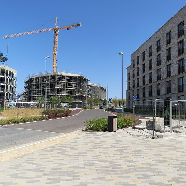
Image: © John Sutton Taken: 13 Jul 2018
House- and flat-building continues on the University's North West Cambridge development, Eddington. (Grid references may not be exact as mapping has not kept pace with building.)
Images are licensed for reuse under creativecommons.org/licenses/by-sa/2.0
Image Location
Latitude
52.220007
Longitude
0.087241