Okeltor Boathouse
Introduction
The photograph on this page of Okeltor Boathouse by David Robinson as part of the Geograph project.
The Geograph project started in 2005 with the aim of publishing, organising and preserving representative images for every square kilometre of Great Britain, Ireland and the Isle of Man.

There are currently over 7.5m images from over 14,400 individuals and you can help contribute to the project by visiting https://www.geograph.org.uk
Okeltor Boathouse
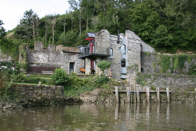
Image: © David Robinson Taken: 23 Aug 2012
Riverside house built within the walls of a former granary.
Images are licensed for reuse under creativecommons.org/licenses/by-sa/2.0
Image Location
Latitude
50.497201
Longitude
-4.195254