Course of old Waggonway
Introduction
The photograph on this page of Course of old Waggonway by David Robinson as part of the Geograph project.
The Geograph project started in 2005 with the aim of publishing, organising and preserving representative images for every square kilometre of Great Britain, Ireland and the Isle of Man.

There are currently over 7.5m images from over 14,400 individuals and you can help contribute to the project by visiting https://www.geograph.org.uk
Course of old Waggonway
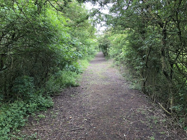
Image: © David Robinson Taken: 13 Jun 2018
Course of old waggonway on low embankment. The waggonway connected Cassop Vale colliery with the railway near Whitwell, also passing Whitwell Colliery.
Images are licensed for reuse under creativecommons.org/licenses/by-sa/2.0
Image Location
Latitude
54.753537
Longitude
-1.517072