Baunton Mill
Introduction
The photograph on this page of Baunton Mill by Philip Halling as part of the Geograph project.
The Geograph project started in 2005 with the aim of publishing, organising and preserving representative images for every square kilometre of Great Britain, Ireland and the Isle of Man.

There are currently over 7.5m images from over 14,400 individuals and you can help contribute to the project by visiting https://www.geograph.org.uk
Baunton Mill
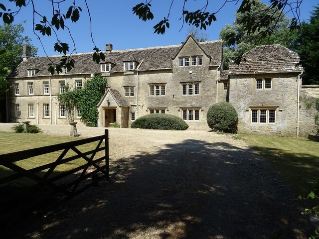
Image: © Philip Halling Taken: 3 Jul 2018
Baunton Mill beside the River Churn is a former mill and mill house. The house is Grade II listed, see: https://historicengland.org.uk/listing/the-list/list-entry/1340877
Images are licensed for reuse under creativecommons.org/licenses/by-sa/2.0
Image Location
Latitude
51.738123
Longitude
-1.968527