River Cole in Stratton, Swindon
Introduction
The photograph on this page of River Cole in Stratton, Swindon by Nigel Cox as part of the Geograph project.
The Geograph project started in 2005 with the aim of publishing, organising and preserving representative images for every square kilometre of Great Britain, Ireland and the Isle of Man.

There are currently over 7.5m images from over 14,400 individuals and you can help contribute to the project by visiting https://www.geograph.org.uk
River Cole in Stratton, Swindon
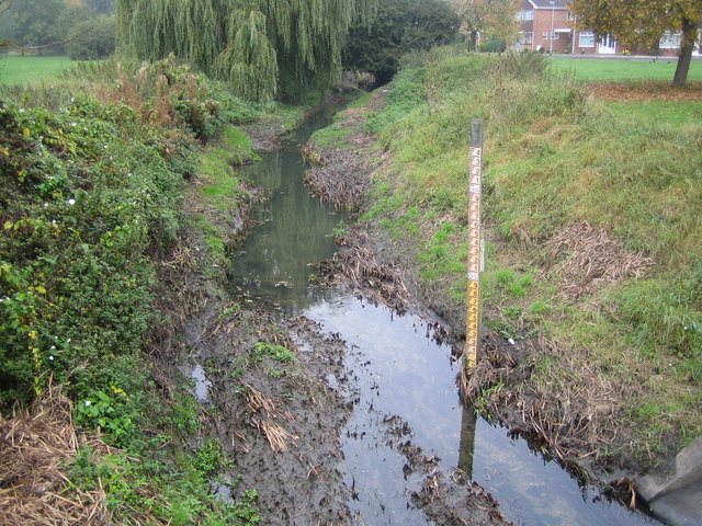
Image: © Nigel Cox Taken: 12 Oct 2007
Viewed looking upstream from the Merlin Way road bridge, the pole with the graduations on it is a water level gauge board, showing the height in metres above sea level. The houses to the right are in Deva Close.
Images are licensed for reuse under creativecommons.org/licenses/by-sa/2.0
Image Location
Latitude
51.570767
Longitude
-1.733024