Development, Nine Elms Lane (5)
Introduction
The photograph on this page of Development, Nine Elms Lane (5) by Stephen Richards as part of the Geograph project.
The Geograph project started in 2005 with the aim of publishing, organising and preserving representative images for every square kilometre of Great Britain, Ireland and the Isle of Man.

There are currently over 7.5m images from over 14,400 individuals and you can help contribute to the project by visiting https://www.geograph.org.uk
Development, Nine Elms Lane (5)
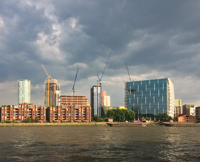
Image: © Stephen Richards Taken: 5 Jul 2018
Taken eight months after Image The US Embassy has now opened to the public, if you can get past the interminable security. See also Image In relation to "the 'opportunity area' of which Battersea is the centrepiece – VNEB, short for Vauxhall Nine Elms Battersea", Owen Hatherley has remarked that its "ruthlessly overdeveloped nature ... devoid of planning, intelligence or character, is a genuine nadir". The ominous clouds did not fulfil their promise meaning that London's rainless spell of 2-3 weeks continued.
Images are licensed for reuse under creativecommons.org/licenses/by-sa/2.0
Image Location
Latitude
51.482653
Longitude
-0.132396