Development, Albert Embankment (3)
Introduction
The photograph on this page of Development, Albert Embankment (3) by Stephen Richards as part of the Geograph project.
The Geograph project started in 2005 with the aim of publishing, organising and preserving representative images for every square kilometre of Great Britain, Ireland and the Isle of Man.

There are currently over 7.5m images from over 14,400 individuals and you can help contribute to the project by visiting https://www.geograph.org.uk
Development, Albert Embankment (3)
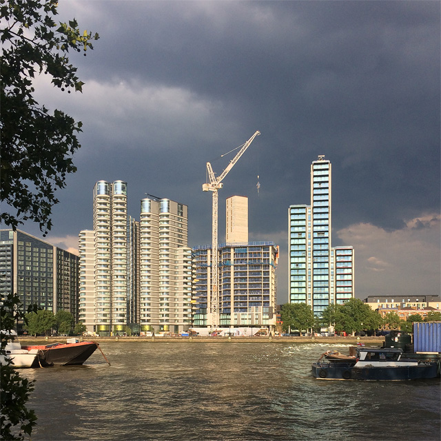
Image: © Stephen Richards Taken: 5 Jul 2018
The eight months since Image] has seen the middle building, The Dumont, progress nicely. The other two are complete, at least externally. The ominous clouds did not fulfil their promise meaning that London's rainless spell of 2-3 weeks continued.
Images are licensed for reuse under creativecommons.org/licenses/by-sa/2.0
Image Location
Latitude
51.490405
Longitude
-0.122284