Easton Farm, Easton Bavents, Reydon
Introduction
The photograph on this page of Easton Farm, Easton Bavents, Reydon by Roger Jones as part of the Geograph project.
The Geograph project started in 2005 with the aim of publishing, organising and preserving representative images for every square kilometre of Great Britain, Ireland and the Isle of Man.

There are currently over 7.5m images from over 14,400 individuals and you can help contribute to the project by visiting https://www.geograph.org.uk
Easton Farm, Easton Bavents, Reydon
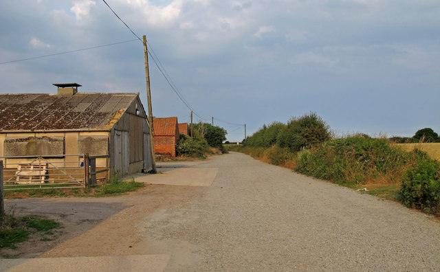
Image: © Roger Jones Taken: 7 Jul 2018
The road is marked "private". Easton Bavents was once a thriving village, at one time extending over a mile east from the current shoreline into the North Sea. Until the C17 most easterly parish in England. Currently the sea continues to erode the coastline, with agricultural land leading up to the cliff edge.
Images are licensed for reuse under creativecommons.org/licenses/by-sa/2.0
Image Location
Latitude
52.343609
Longitude
1.68241