Roundabout in the centre of Eastington
Introduction
The photograph on this page of Roundabout in the centre of Eastington by Jaggery as part of the Geograph project.
The Geograph project started in 2005 with the aim of publishing, organising and preserving representative images for every square kilometre of Great Britain, Ireland and the Isle of Man.

There are currently over 7.5m images from over 14,400 individuals and you can help contribute to the project by visiting https://www.geograph.org.uk
Roundabout in the centre of Eastington
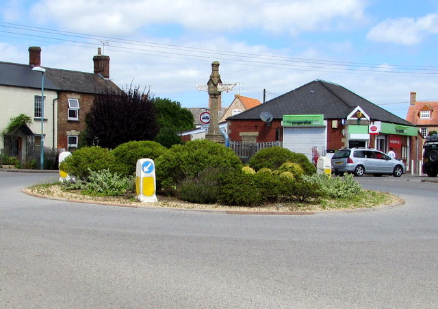
Image: © Jaggery Taken: 7 Aug 2016
At the junction of Bath Road and Alkerton Road. https://www.geograph.org.uk/photo/5835804 to a closer view of the Victorian direction post.
Images are licensed for reuse under creativecommons.org/licenses/by-sa/2.0
Image Location
Latitude
51.745941
Longitude
-2.327732