Junction of Chepstow Road and Fayre Oaks, Raglan
Introduction
The photograph on this page of Junction of Chepstow Road and Fayre Oaks, Raglan by Jaggery as part of the Geograph project.
The Geograph project started in 2005 with the aim of publishing, organising and preserving representative images for every square kilometre of Great Britain, Ireland and the Isle of Man.

There are currently over 7.5m images from over 14,400 individuals and you can help contribute to the project by visiting https://www.geograph.org.uk
Junction of Chepstow Road and Fayre Oaks, Raglan
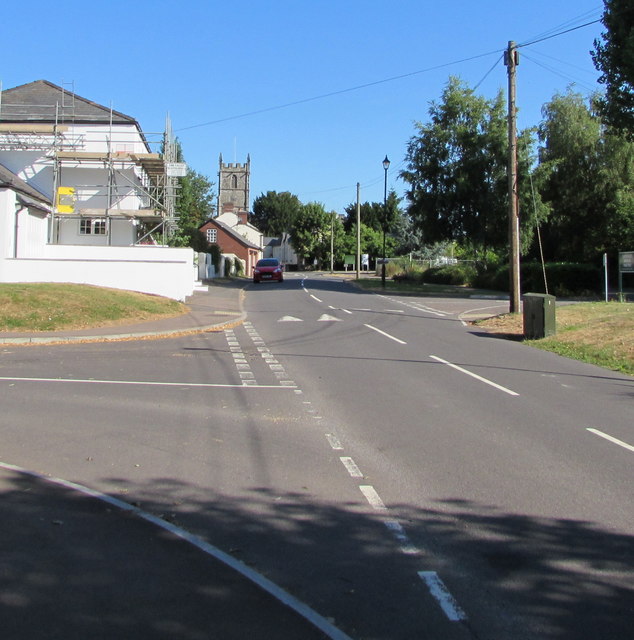
Image: © Jaggery Taken: 8 Jul 2018
Fayre Oaks from the left joins Chepstow Road. The tower of St Cadoc's Church in the background is 200 metres from the camera.
Images are licensed for reuse under creativecommons.org/licenses/by-sa/2.0
Image Location
Latitude
51.763189
Longitude
-2.850654