Farmland south of Brewood in Staffordshire
Introduction
The photograph on this page of Farmland south of Brewood in Staffordshire by Roger D Kidd as part of the Geograph project.
The Geograph project started in 2005 with the aim of publishing, organising and preserving representative images for every square kilometre of Great Britain, Ireland and the Isle of Man.

There are currently over 7.5m images from over 14,400 individuals and you can help contribute to the project by visiting https://www.geograph.org.uk
Farmland south of Brewood in Staffordshire
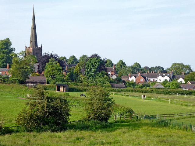
Image: © Roger D Kidd Taken: 9 Jun 2018
This is the view towards Brewood from the Shropshire Union Canal north of Dean's Hall Bridge. St Mary's Church spire dominates the skyline.
Images are licensed for reuse under creativecommons.org/licenses/by-sa/2.0
Image Location
Latitude
52.673536
Longitude
-2.17506