Kimberley: former Methodist Church
Introduction
The photograph on this page of Kimberley: former Methodist Church by John Sutton as part of the Geograph project.
The Geograph project started in 2005 with the aim of publishing, organising and preserving representative images for every square kilometre of Great Britain, Ireland and the Isle of Man.

There are currently over 7.5m images from over 14,400 individuals and you can help contribute to the project by visiting https://www.geograph.org.uk
Kimberley: former Methodist Church
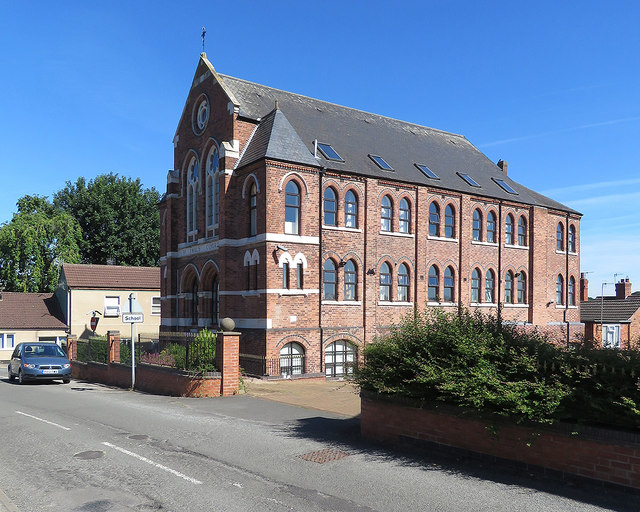
Image: © John Sutton Taken: 26 Jun 2018
Originally St Paul's Methodist Church but now in residential use, on the corner of High Street and James Street. For more about it, try http://kimberleynow.com/wp-content/uploads/2015/02/KHT-Full-Booklet-Low-Res.pdf . Image] is another view of it.
Images are licensed for reuse under creativecommons.org/licenses/by-sa/2.0
Image Location
Latitude
52.996412
Longitude
-1.258422