The Lisnamallard Burn, Omagh
Introduction
The photograph on this page of The Lisnamallard Burn, Omagh by Kenneth Allen as part of the Geograph project.
The Geograph project started in 2005 with the aim of publishing, organising and preserving representative images for every square kilometre of Great Britain, Ireland and the Isle of Man.

There are currently over 7.5m images from over 14,400 individuals and you can help contribute to the project by visiting https://www.geograph.org.uk
The Lisnamallard Burn, Omagh
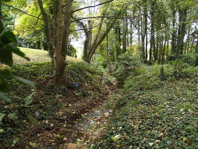
Image: © Kenneth Allen Taken: 13 Oct 2007
This very small stream runs from the side of the Circular Road and through a culvert on the Mountjoy Road and finally past the grounds at the Grange to join the river Strule. It was not marked on the map.
Images are licensed for reuse under creativecommons.org/licenses/by-sa/2.0
Image Location


Leaflet Map data © OpenStreetMap
Latitude
54.60592
Longitude
-7.302839