A30 Shaftesbury Road approaching Barford St Martin
Introduction
The photograph on this page of A30 Shaftesbury Road approaching Barford St Martin by Derek Harper as part of the Geograph project.
The Geograph project started in 2005 with the aim of publishing, organising and preserving representative images for every square kilometre of Great Britain, Ireland and the Isle of Man.

There are currently over 7.5m images from over 14,400 individuals and you can help contribute to the project by visiting https://www.geograph.org.uk
A30 Shaftesbury Road approaching Barford St Martin
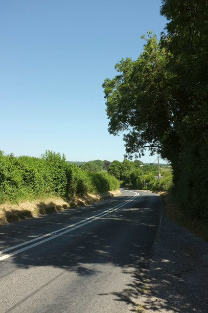
Image: © Derek Harper Taken: 30 Jun 2018
From its junction with a byway into the downs. On the bend is the right turn to Burcombe. The parish boundary between Barford St Martin (left) and Burcombe runs along the right side of the main road.
Images are licensed for reuse under creativecommons.org/licenses/by-sa/2.0
Image Location
Latitude
51.076497
Longitude
-1.920014