Keep fit equipment next to the Hillingdon Trail
Introduction
The photograph on this page of Keep fit equipment next to the Hillingdon Trail by Marathon as part of the Geograph project.
The Geograph project started in 2005 with the aim of publishing, organising and preserving representative images for every square kilometre of Great Britain, Ireland and the Isle of Man.

There are currently over 7.5m images from over 14,400 individuals and you can help contribute to the project by visiting https://www.geograph.org.uk
Keep fit equipment next to the Hillingdon Trail
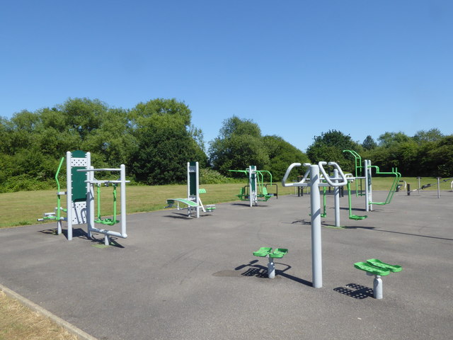
Image: © Marathon Taken: 27 Jun 2018
The Hillingdon Trail is a 20 mile path through Hillingdon's countryside from Cranford in the south-east to Harefield in the north-west - see https://archive.hillingdon.gov.uk/article/8730/Yeading-Valley Here it is passing through a recreation ground between the A40 and Gutteridge Wood.
Images are licensed for reuse under creativecommons.org/licenses/by-sa/2.0
Image Location
Latitude
51.548725
Longitude
-0.438488