The Hillingdon Trail approaching Gutteridge Wood
Introduction
The photograph on this page of The Hillingdon Trail approaching Gutteridge Wood by Marathon as part of the Geograph project.
The Geograph project started in 2005 with the aim of publishing, organising and preserving representative images for every square kilometre of Great Britain, Ireland and the Isle of Man.

There are currently over 7.5m images from over 14,400 individuals and you can help contribute to the project by visiting https://www.geograph.org.uk
The Hillingdon Trail approaching Gutteridge Wood
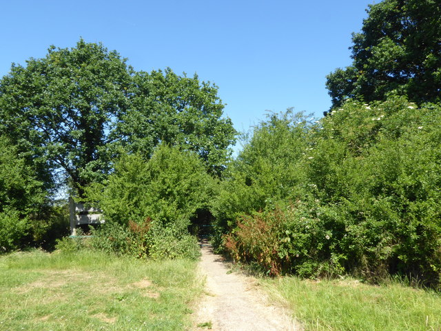
Image: © Marathon Taken: 27 Jun 2018
The Hillingdon Trail is a 20 mile path through Hillingdon's countryside from Cranford in the south-east to Harefield in the north-west. Here it is about to enter Gutteridge Wood. Gutteridge Wood in Hillingdon is an area of traditional countryside character, including ancient woodland and wildflower meadows. It is part of the Yeading Brook Valley. The woodland is ancient which means it dates from at least the 17th century. It was once called Great Ditch Wood. It is owned by the London Borough of Hillingdon and is now managed by the London Wildlife Trust. Full details can be found at https://www.wildlondon.org.uk/reserves/gutteridge-wood
Images are licensed for reuse under creativecommons.org/licenses/by-sa/2.0
Image Location
Latitude
51.546646
Longitude
-0.430916