SUDS pond at The Ridings
Introduction
The photograph on this page of SUDS pond at The Ridings by Rose and Trev Clough as part of the Geograph project.
The Geograph project started in 2005 with the aim of publishing, organising and preserving representative images for every square kilometre of Great Britain, Ireland and the Isle of Man.

There are currently over 7.5m images from over 14,400 individuals and you can help contribute to the project by visiting https://www.geograph.org.uk
SUDS pond at The Ridings
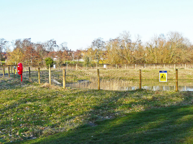
Image: © Rose and Trev Clough Taken: 20 Mar 2018
SUDS stands for sustainable urban drainage system - for information see Wikipedia article https://en.wikipedia.org/wiki/Sustainable_drainage_system . The pond has been created to contain surface water runoff from the housing estate
Images are licensed for reuse under creativecommons.org/licenses/by-sa/2.0
Image Location
Latitude
54.870571
Longitude
-2.926494