Start of footpath to Blackwell (2014)
Introduction
The photograph on this page of Start of footpath to Blackwell (2014) by Rose and Trev Clough as part of the Geograph project.
The Geograph project started in 2005 with the aim of publishing, organising and preserving representative images for every square kilometre of Great Britain, Ireland and the Isle of Man.

There are currently over 7.5m images from over 14,400 individuals and you can help contribute to the project by visiting https://www.geograph.org.uk
Start of footpath to Blackwell (2014)
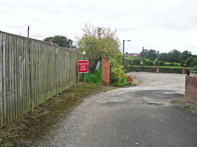
Image: © Rose and Trev Clough Taken: 25 Aug 2014
Access to public footpath alongside the driveway to a private property, off Scalegate Road. This location is named 'Armstrong's Place' on an OS map from 1925 - see https://www.old-maps.co.uk/#/Map/340886/553314/12/101238 . Bungalows in Oaklands Drive are behind the fence on the left.
Images are licensed for reuse under creativecommons.org/licenses/by-sa/2.0
Image Location
Latitude
54.870957
Longitude
-2.923075