Twmpath 80 llath/Hump 80 yds, Cliff Terrace, Burry Port
Introduction
The photograph on this page of Twmpath 80 llath/Hump 80 yds, Cliff Terrace, Burry Port by Jaggery as part of the Geograph project.
The Geograph project started in 2005 with the aim of publishing, organising and preserving representative images for every square kilometre of Great Britain, Ireland and the Isle of Man.

There are currently over 7.5m images from over 14,400 individuals and you can help contribute to the project by visiting https://www.geograph.org.uk
Twmpath 80 llath/Hump 80 yds, Cliff Terrace, Burry Port
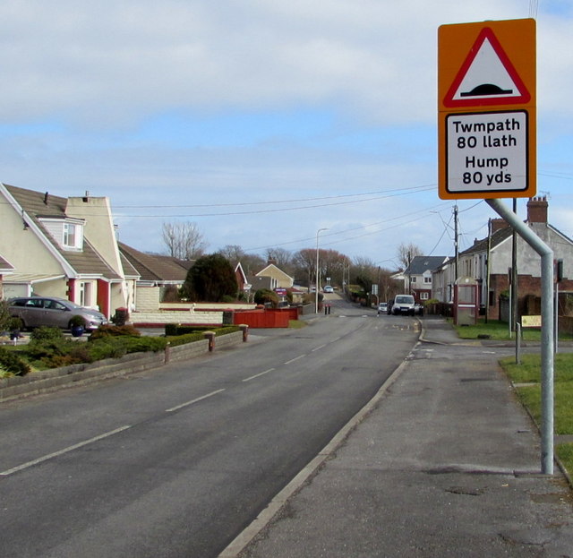
Image: © Jaggery Taken: 8 Mar 2018
The Welsh/English warning sign faces eastbound vehicles on the B4311 Cliff Terrace.
Images are licensed for reuse under creativecommons.org/licenses/by-sa/2.0
Image Location
Latitude
51.683175
Longitude
-4.261422