Back Lane, Topcliffe
Introduction
The photograph on this page of Back Lane, Topcliffe by Gordon Hatton as part of the Geograph project.
The Geograph project started in 2005 with the aim of publishing, organising and preserving representative images for every square kilometre of Great Britain, Ireland and the Isle of Man.

There are currently over 7.5m images from over 14,400 individuals and you can help contribute to the project by visiting https://www.geograph.org.uk
Back Lane, Topcliffe
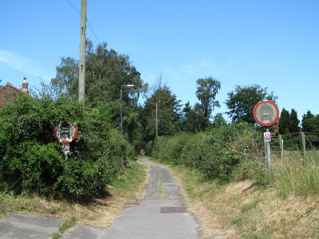
Image: © Gordon Hatton Taken: 1 Jul 2018
Back Lane joins Long Street with the road to Busby Stoop and probably marks the end of former 'toft and croft' lands, where the original dwellings along what is now Front Street would have had long strips of land to the rear where small amounts of food could be grown or a few animals kept.
Images are licensed for reuse under creativecommons.org/licenses/by-sa/2.0
Image Location
Latitude
54.179387
Longitude
-1.386044