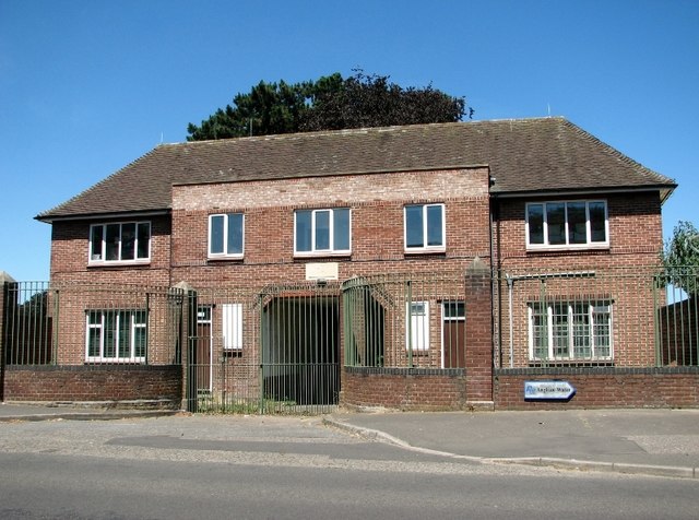
Waterworks building on Waterworks Road
Introduction
The photograph on this page of Waterworks building on Waterworks Road by Evelyn Simak as part of the Geograph project.
The Geograph project started in 2005 with the aim of publishing, organising and preserving representative images for every square kilometre of Great Britain, Ireland and the Isle of Man.
There are currently over 7.5m images from over 14,400 individuals and you can help contribute to the project by visiting https://www.geograph.org.uk

Image: © Evelyn Simak Taken: 1 Jul 2018
The stone above the entrance passage reads 'C.N.W MCMXXXVIII' (City of Norwich Waterworks 1938) > http://www.geograph.org.uk/photo/5826912. The works were initially known as the City of Norwich Waterworks. The site currently comprises 5 hectares of land with a large reservoir, redundant filter beds, and a number of historic industrial buildings including two pump houses > https://www.geograph.org.uk/photo/5826974 and East Gate House > http://www.geograph.org.uk/photo/5826958 in a landscaped setting on the east end of the site. Surplus to Anglian Water's operational needs it is planned to be decommissioned and allocated for housing (a minimum of 150 dwellings, according to the plan) and otherwise mixed use development.

