Esk Valley
Introduction
The photograph on this page of Esk Valley by Andrew Curtis as part of the Geograph project.
The Geograph project started in 2005 with the aim of publishing, organising and preserving representative images for every square kilometre of Great Britain, Ireland and the Isle of Man.

There are currently over 7.5m images from over 14,400 individuals and you can help contribute to the project by visiting https://www.geograph.org.uk
Esk Valley
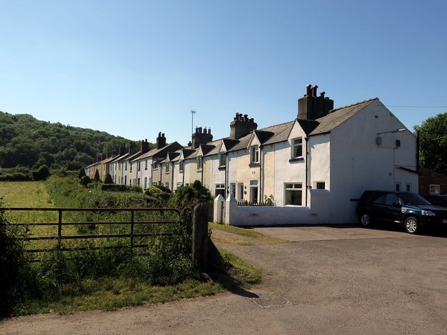
Image: © Andrew Curtis Taken: 27 Jun 2018
The hamlet of Esk Valley started life in 1860 as a row of four cottages, built for workers at the ironstone mines to the north. Beneath the living quarters were a blacksmiths’ shop, a joiner’s, a tiny office and a washroom. A few years later, as the workforce expanded, a terrace of 24 cottages was built on the other side of the former railway track (now 'Rail Trail' footpath). Esk Valley relied on the railway to bring coal, food and provisions until 1951, when the community raised enough money to construct the steep road leading down to the hamlet.
Images are licensed for reuse under creativecommons.org/licenses/by-sa/2.0
Image Location
Latitude
54.427214
Longitude
-0.733566