Arkwright walk: building new houses
Introduction
The photograph on this page of Arkwright walk: building new houses by John Sutton as part of the Geograph project.
The Geograph project started in 2005 with the aim of publishing, organising and preserving representative images for every square kilometre of Great Britain, Ireland and the Isle of Man.

There are currently over 7.5m images from over 14,400 individuals and you can help contribute to the project by visiting https://www.geograph.org.uk
Arkwright walk: building new houses
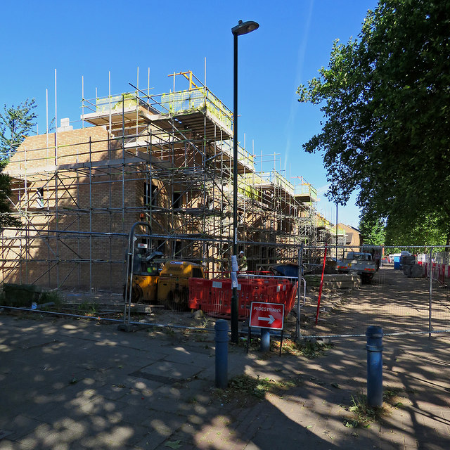
Image: © John Sutton Taken: 26 Jun 2018
Many of the Victorian houses in The Meadows were demolished in the 1970s. Now the replacement council houses are being replaced.
Images are licensed for reuse under creativecommons.org/licenses/by-sa/2.0
Image Location
Latitude
52.942695
Longitude
-1.143864