The rear of The Rose of England
Introduction
The photograph on this page of The rear of The Rose of England by John Sutton as part of the Geograph project.
The Geograph project started in 2005 with the aim of publishing, organising and preserving representative images for every square kilometre of Great Britain, Ireland and the Isle of Man.

There are currently over 7.5m images from over 14,400 individuals and you can help contribute to the project by visiting https://www.geograph.org.uk
The rear of The Rose of England
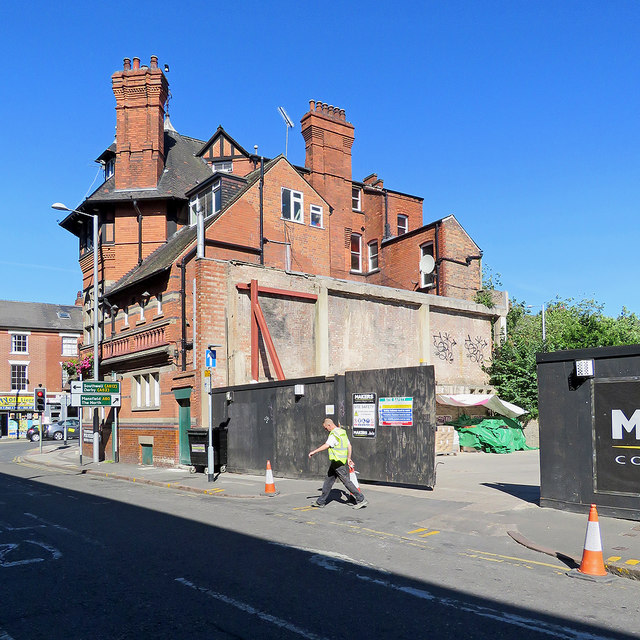
Image: © John Sutton Taken: 26 Jun 2018
Demolition has opened up the view of the rear of Watson Fothergill's Rose of England, which is less spectacular than its Mansfield Road and Union Road elevations - see Stephen Richards' Image] (2012) and Richard Croft's Image] (2017). For more about Fothergill, and pictures of most of his buildings, see http://www.geograph.org.uk/article/The-Buildings-of-Watson-Fothergill .
Images are licensed for reuse under creativecommons.org/licenses/by-sa/2.0
Image Location
Latitude
52.958102
Longitude
-1.14877