Swingate: barley at Spring Hill
Introduction
The photograph on this page of Swingate: barley at Spring Hill by John Sutton as part of the Geograph project.
The Geograph project started in 2005 with the aim of publishing, organising and preserving representative images for every square kilometre of Great Britain, Ireland and the Isle of Man.

There are currently over 7.5m images from over 14,400 individuals and you can help contribute to the project by visiting https://www.geograph.org.uk
Swingate: barley at Spring Hill
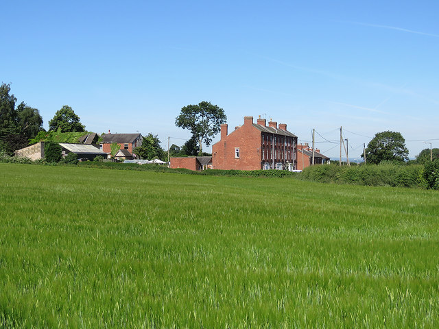
Image: © John Sutton Taken: 26 Jun 2018
There are hundreds of three-storey terraces like these in Nottingham's inner suburbs. They look rather out of place next to a barley field.
Images are licensed for reuse under creativecommons.org/licenses/by-sa/2.0
Image Location
Latitude
52.992369
Longitude
-1.25879