Settlement on the north side of the Ayallogue Cross Roads
Introduction
The photograph on this page of Settlement on the north side of the Ayallogue Cross Roads by Eric Jones as part of the Geograph project.
The Geograph project started in 2005 with the aim of publishing, organising and preserving representative images for every square kilometre of Great Britain, Ireland and the Isle of Man.

There are currently over 7.5m images from over 14,400 individuals and you can help contribute to the project by visiting https://www.geograph.org.uk
Settlement on the north side of the Ayallogue Cross Roads
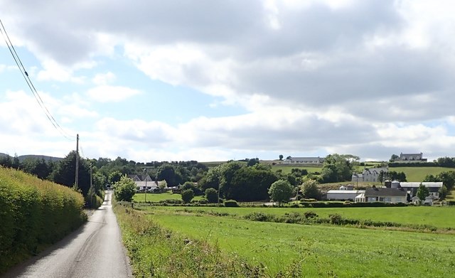
Image: © Eric Jones Taken: 21 Jun 2018
These are located on the eastern side of Carn Hill.
Images are licensed for reuse under creativecommons.org/licenses/by-sa/2.0
Image Location
Latitude
54.142526
Longitude
-6.377972