The shallow valley of the River Tud, south of Dereham
Introduction
The photograph on this page of The shallow valley of the River Tud, south of Dereham by Christine Johnstone as part of the Geograph project.
The Geograph project started in 2005 with the aim of publishing, organising and preserving representative images for every square kilometre of Great Britain, Ireland and the Isle of Man.

There are currently over 7.5m images from over 14,400 individuals and you can help contribute to the project by visiting https://www.geograph.org.uk
The shallow valley of the River Tud, south of Dereham
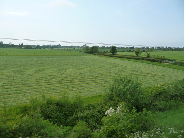
Image: © Christine Johnstone Taken: 23 May 2018
The river is marked by the hedges. It must have been straightened, as the civil parish boundary wiggles alongside, to the south/left.
Images are licensed for reuse under creativecommons.org/licenses/by-sa/2.0
Image Location
Latitude
52.659537
Longitude
0.952675