Ysgol Llanychllwydog
Introduction
The photograph on this page of Ysgol Llanychllwydog by Natasha Ceridwen de Chroustchoff as part of the Geograph project.
The Geograph project started in 2005 with the aim of publishing, organising and preserving representative images for every square kilometre of Great Britain, Ireland and the Isle of Man.

There are currently over 7.5m images from over 14,400 individuals and you can help contribute to the project by visiting https://www.geograph.org.uk
Ysgol Llanychllwydog
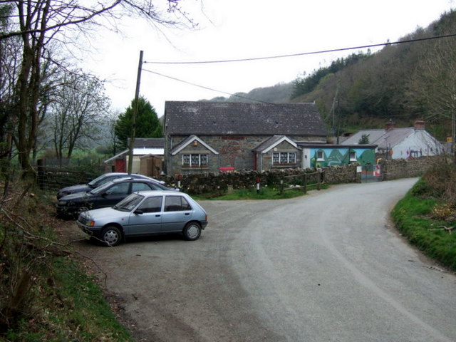
Image: © Natasha Ceridwen de Chroustchoff Taken: 15 Apr 2007
Usually referred to as the Gwaun valley school, Llanychllwydog has so far escaped Pembrokeshire's policy of small-school closure, in fact it thrives and draws pupils from beyond its catchment area. They still take part in the valley traditions such as 'calennig' when, 13 days after Christmas, local people celebrate 'Hen Galan' according to the old Julian calendar and children collect sweets by singing door-to-door. http://news.bbc.co.uk/1/hi/wales/1757070.stm
Images are licensed for reuse under creativecommons.org/licenses/by-sa/2.0
Image Location


Leaflet Map data © OpenStreetMap
Latitude
51.9688
Longitude
-4.867187