Radford: Wolsey Avenue
Introduction
The photograph on this page of Radford: Wolsey Avenue by John Sutton as part of the Geograph project.
The Geograph project started in 2005 with the aim of publishing, organising and preserving representative images for every square kilometre of Great Britain, Ireland and the Isle of Man.

There are currently over 7.5m images from over 14,400 individuals and you can help contribute to the project by visiting https://www.geograph.org.uk
Radford: Wolsey Avenue
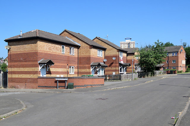
Image: © John Sutton Taken: 28 Jun 2018
Nottingham's first response to slum clearance in New Radford and other inner-city suburbs was to build high-rise and deck-access flats. A more enlightened approach in later years was to build small houses with gardens.
Images are licensed for reuse under creativecommons.org/licenses/by-sa/2.0
Image Location
Latitude
52.957085
Longitude
-1.170226