Mudflats and Neyland
Introduction
The photograph on this page of Mudflats and Neyland by Jonathan Thacker as part of the Geograph project.
The Geograph project started in 2005 with the aim of publishing, organising and preserving representative images for every square kilometre of Great Britain, Ireland and the Isle of Man.

There are currently over 7.5m images from over 14,400 individuals and you can help contribute to the project by visiting https://www.geograph.org.uk
Mudflats and Neyland
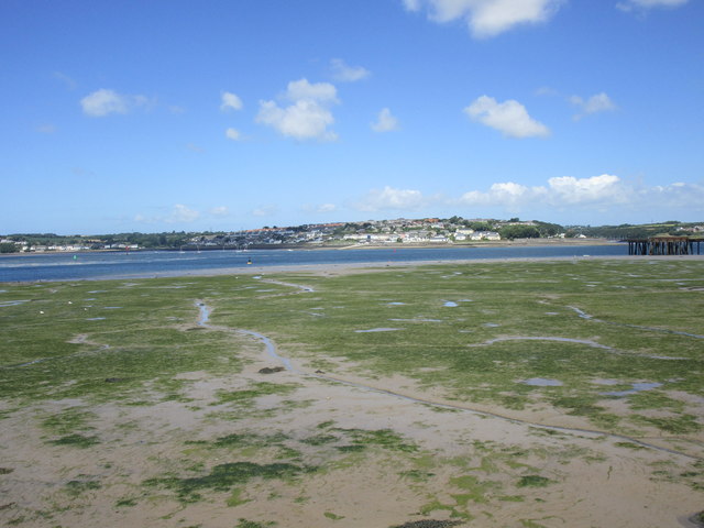
Image: © Jonathan Thacker Taken: 14 Jun 2018
Neyland was once the main transfer point for traffic between South Wales and Ireland but lost this role initially to Fishguard and now to a large extent Pembroke Dock.
Images are licensed for reuse under creativecommons.org/licenses/by-sa/2.0
Image Location
Latitude
51.705701
Longitude
-4.948511