Nant Ganna
Introduction
The photograph on this page of Nant Ganna by Alan Richards as part of the Geograph project.
The Geograph project started in 2005 with the aim of publishing, organising and preserving representative images for every square kilometre of Great Britain, Ireland and the Isle of Man.

There are currently over 7.5m images from over 14,400 individuals and you can help contribute to the project by visiting https://www.geograph.org.uk
Nant Ganna
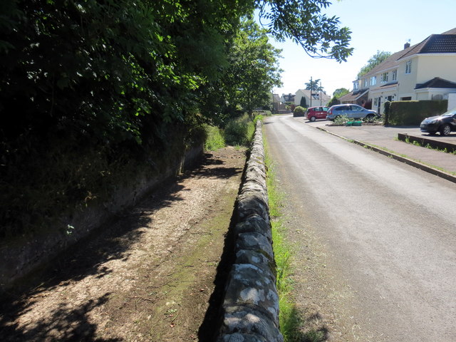
Image: © Alan Richards Taken: 27 Jun 2018
Ar ol cyfnod o dywydd twym a phrinder glaw mae Nant Ganna yn y lleoliad hwn yn gwbl sych. After a period of hot weather and little rain Nant Ganna (trans. Canna's stream) is totally dry at this location.
Images are licensed for reuse under creativecommons.org/licenses/by-sa/2.0
Image Location
Latitude
51.495121
Longitude
-3.520687