Lane behind the Castle Inn, off Woodhill Road, Highley, Shrops
Introduction
The photograph on this page of Lane behind the Castle Inn, off Woodhill Road, Highley, Shrops by P L Chadwick as part of the Geograph project.
The Geograph project started in 2005 with the aim of publishing, organising and preserving representative images for every square kilometre of Great Britain, Ireland and the Isle of Man.

There are currently over 7.5m images from over 14,400 individuals and you can help contribute to the project by visiting https://www.geograph.org.uk
Lane behind the Castle Inn, off Woodhill Road, Highley, Shrops
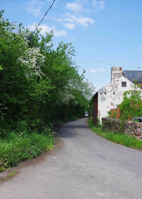
Image: © P L Chadwick Taken: 20 May 2018
The lane starts and ends at junctions with Woodhill Road. The Castle Inn is currently closed and part of it can be seen on the right.
Images are licensed for reuse under creativecommons.org/licenses/by-sa/2.0
Image Location
Latitude
52.457611
Longitude
-2.39451