Probably not the public footpath past Mangrove Hall. Offley
Introduction
The photograph on this page of Probably not the public footpath past Mangrove Hall. Offley by Humphrey Bolton as part of the Geograph project.
The Geograph project started in 2005 with the aim of publishing, organising and preserving representative images for every square kilometre of Great Britain, Ireland and the Isle of Man.

There are currently over 7.5m images from over 14,400 individuals and you can help contribute to the project by visiting https://www.geograph.org.uk
Probably not the public footpath past Mangrove Hall. Offley
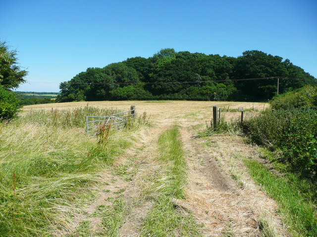
Image: © Humphrey Bolton Taken: 26 Jun 2018
Closer inspection of the 'Explorer'map bck at base suggests that the path is on the other side of the edge to the right. The County Council's on-line RoW map is no help, as the line of the path is so thick that it covers the field boundary. The path along the edge of Messina Plantation is inside the wood, as I discovered when I climbed over the fence at the left end.
Images are licensed for reuse under creativecommons.org/licenses/by-sa/2.0
Image Location
Latitude
51.904363
Longitude
-0.366296